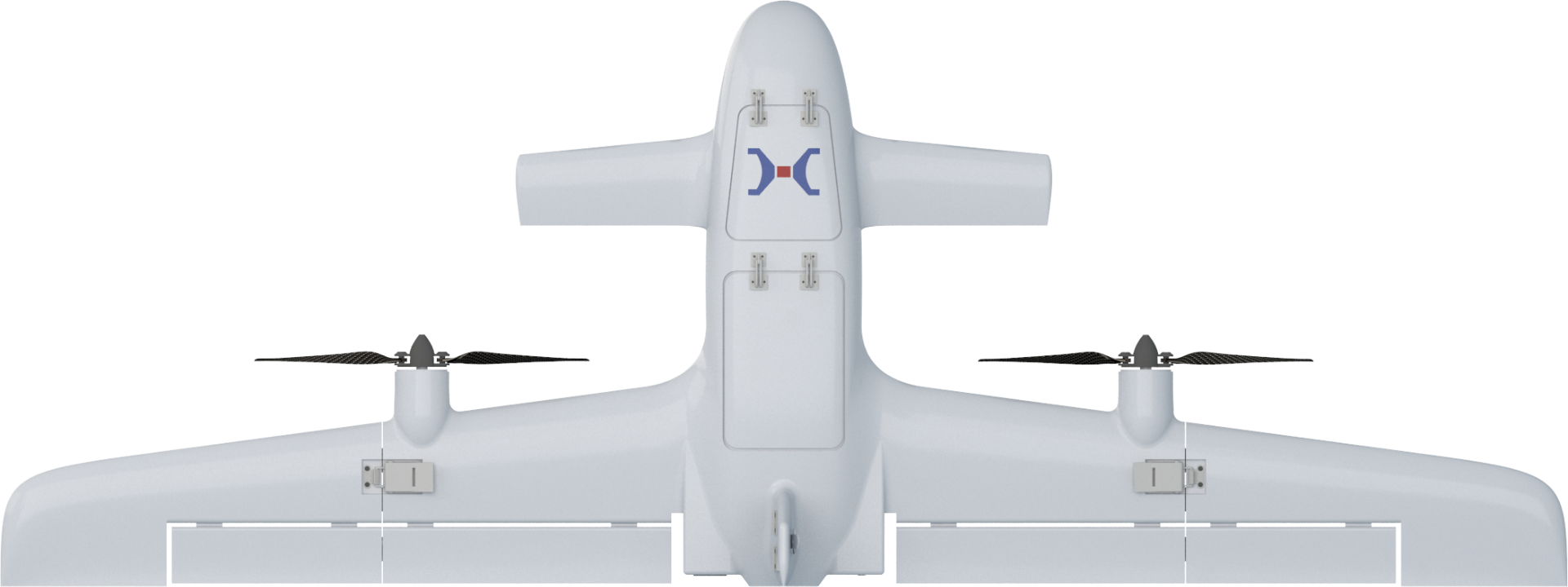
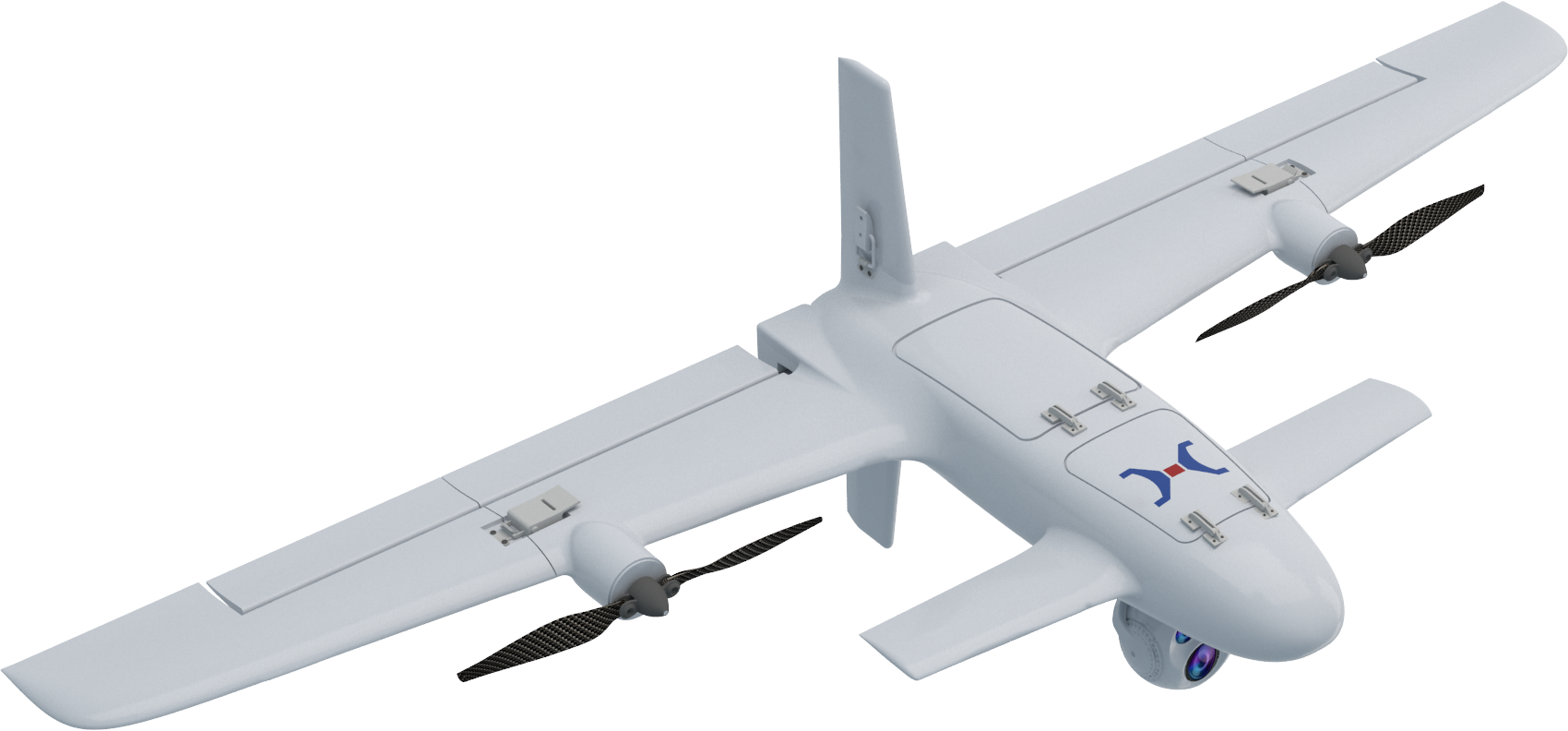
The Tailsitter VTOL Fixed-Wing UAV offers vertical take-off and landing capabilities, unaffected by terrain, with automatic transition between vertical and horizontal flight modes, ensuring full autonomy throughout the flight. This advantage guarantees smooth operations in complex terrains such as mountains, forests, and areas with dense buildings. Featuring a foldable structure, the wings and tail can be deployed or retracted within seconds, allowing for single-person operation and quick response time.
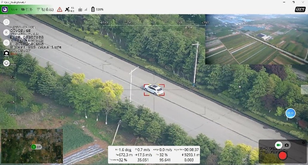
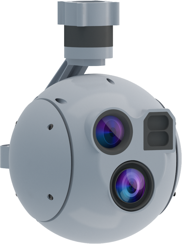
The UAV equipped with an intelligent gimbal enables smart reconnaissance, target tracking, and other functions. With both visible light and infrared capabilities, it allows for all-weather reconnaissance operations, automatically detecting abnormal situations (such as personnel, vehicles, etc.) within the area and issuing alerts. The UAV autonomously follows the identified target during flight.
The UAV can use a small UAV station to automatically land and recover without the need for a pilot, enabling fully autonomous operations. The same ground station can simultaneously control multiple UAVs, with seamless task coordination between flights. The UAVs act as relays for each other, complementing one another. Through coordinated operations in a UAV swarm, with staggered timing and spatial separation, the tasks are seamlessly handed over, ensuring coverage without any blind spots.
Integrating cutting-edge technologies such as artificial intelligence, cloud computing, and big data, the system enhances automation levels and intelligently processes massive amounts of data. It enables automatic recognition, alarm, tracking, and positioning. The wide-angle lens ensures the UAV stays locked onto the target without losing focus, while the zoom lens is used for detailed imaging and intelligent recognition.
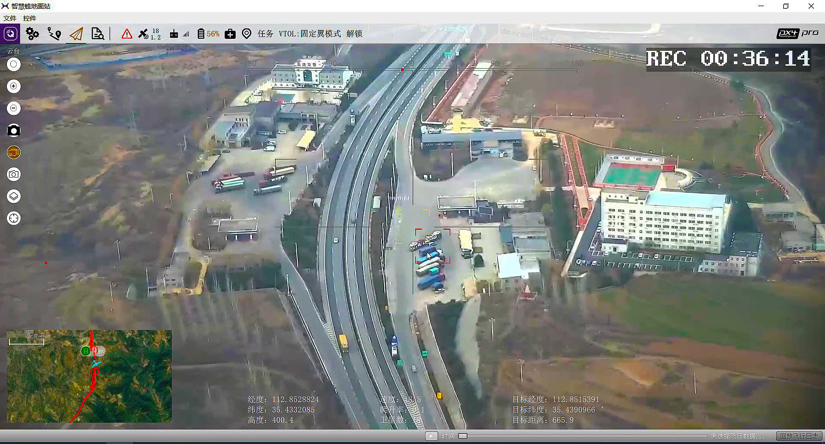
In highway inspection applications, drones are used to monitor traffic flow, capture traffic violations, investigate and collect evidence at accident scenes, and gather road condition data for special areas such as bridges, tunnels, slopes, and cliffs. Drones can also conduct surface inspections under extreme weather conditions and provide early warnings and alerts for traffic violations and other anomalies.
By integrating artificial intelligence with road inspections, drones enable automated recognition and early warning for routine inspections. The establishment of a UAV ground station network supports large-scale, full-area automated inspections. This intelligent inspection platform combines a mature flight platform, efficient information processing and transmission, specialized mission payloads, and coordinated ground transportation and support, providing a comprehensive solution for intelligent traffic security and law enforcement management on highways.