BrainyBee UAV – The Aerial Vanguard for Forest and Grassland Fire Prevention
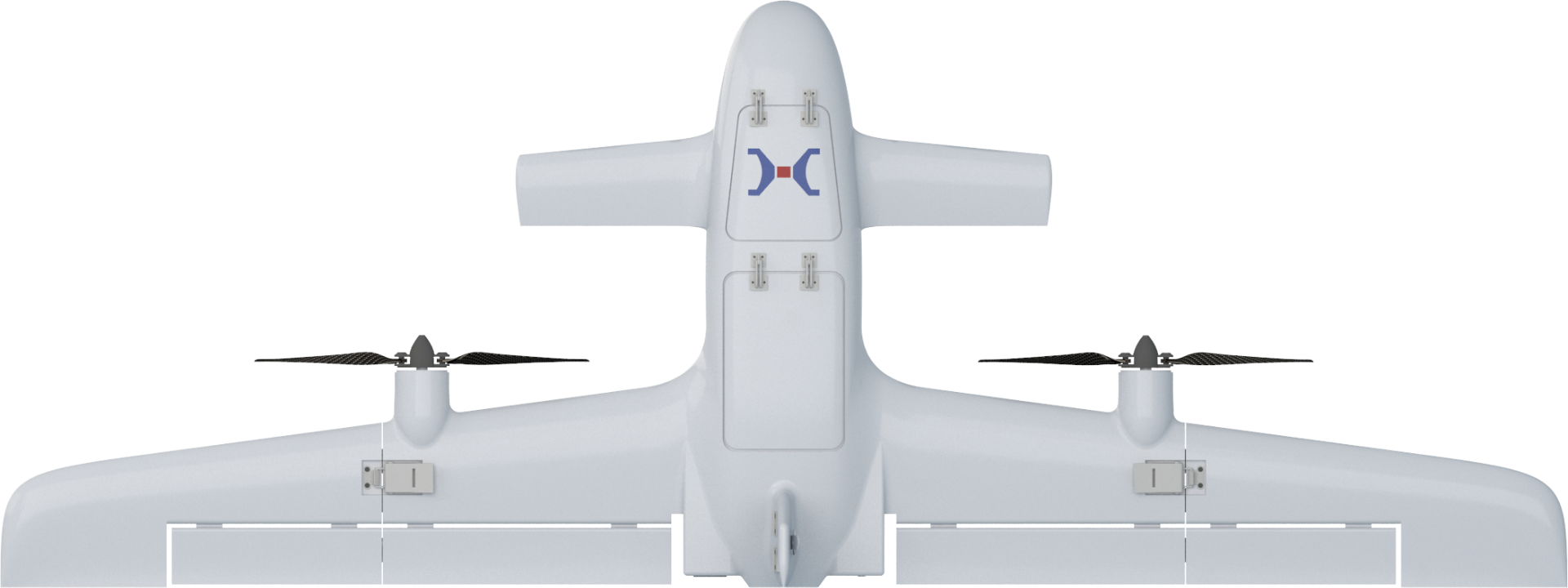
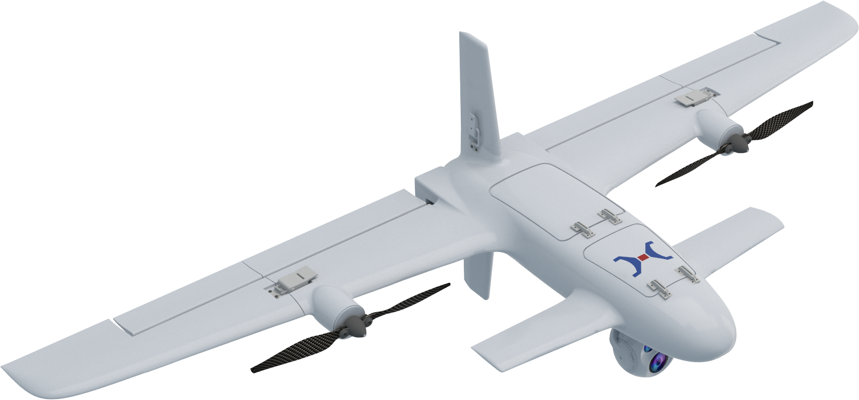
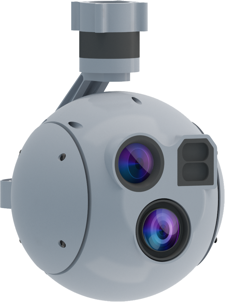
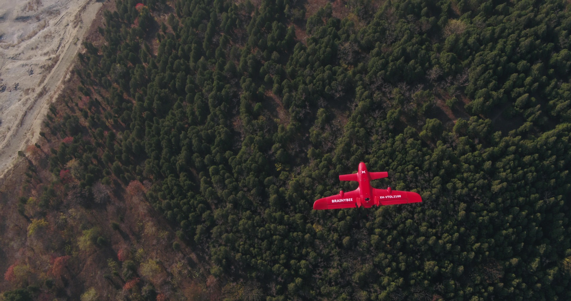
Comprehensive Coverage, Real-time Monitoring – The BrainyBee UAV is equipped with high-definition and thermal imaging devices, enabling real-time detection of hidden fire spots and timely early warnings.
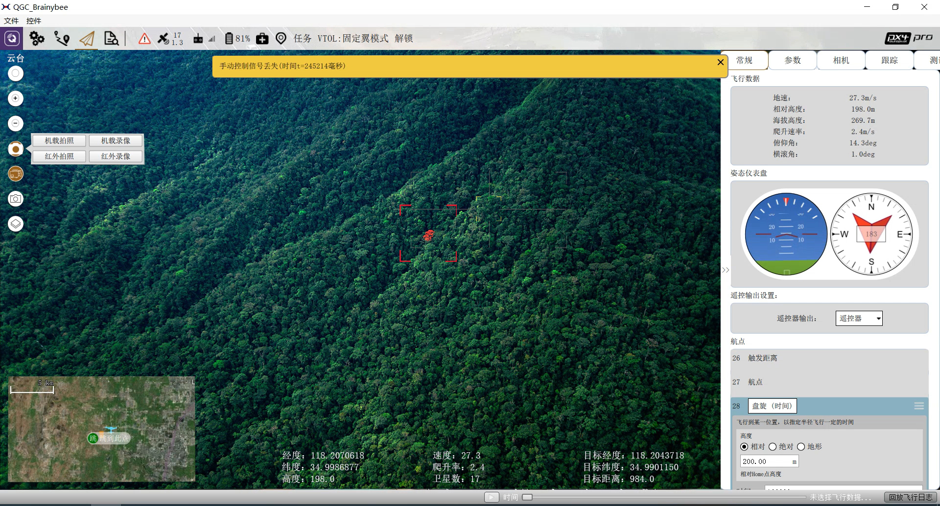
Intelligent Communication, Efficient Decision-making – With real-time video transmission and smart analytics, it provides the command center with fire scene dynamics, supporting informed decision-making.
Rapid Response, Precise Firefighting – The UAV can swiftly reach the fire site and accurately drop fire extinguishing projectiles, significantly reducing firefighting response time.
In forest areas, the terrain is complex, and fire points are hidden, making it difficult for traditional monitoring methods to provide comprehensive coverage, leading to delays in detecting fires.
The rapid spread of fires makes it challenging to deploy firefighting resources, and traditional methods cannot respond quickly, delaying the optimal time for suppression.
Poor communication conditions in forest areas hinder smooth information transmission, and the real-time situation of the fire scene is hard to grasp, impacting the efficiency of command and decision-making.
Industry Application Pain Points
The advantages of the BrainyBEE UAV
Forestry Application
The BrainyBee UAV, equipped with intelligent payload devices, provides a more convenient, efficient, and safe monitoring and firefighting solution for forest and grassland fire prevention. By transmitting real-time high-definition images and utilizing smart analytics, the UAV can quickly detect fire spots and accurately locate fire sources, greatly enhancing the efficiency of fire prevention and emergency response efforts, while significantly improving disaster prevention and management capabilities.
The Tailsitter VTOL Fixed-Wing UAV offers vertical take-off and landing capabilities, unaffected by terrain, with automatic transition between vertical and horizontal flight modes, ensuring full autonomy throughout the flight. This advantage guarantees smooth operations in complex terrains such as mountains, forests, and areas with dense buildings. Featuring a foldable structure, the wings and tail can be deployed or retracted within seconds, allowing for single-person operation and quick response time.
描述
BrainyBEE UAV
描述
The UAV equipped with an intelligent gimbal enables smart reconnaissance, target tracking, and other functions. With both visible light and infrared capabilities, it allows for all-weather reconnaissance operations, automatically detecting abnormal situations (such as personnel, vehicles, etc.) within the area and issuing alerts. The UAV autonomously follows the identified target during flight.
描述
The UAV can use a small UAV station to automatically land and recover without the need for a pilot, enabling fully autonomous operations. The same ground station can simultaneously control multiple UAVs, with seamless task coordination between flights. The UAVs act as relays for each other, complementing one another. Through coordinated operations in a UAV swarm, with staggered timing and spatial separation, the tasks are seamlessly handed over, ensuring coverage without any blind spots.
Integrating cutting-edge technologies such as artificial intelligence, cloud computing, and big data, the system enhances automation levels and intelligently processes massive amounts of data. It enables automatic recognition, alarm, tracking, and positioning. The wide-angle lens ensures the UAV stays locked onto the target without losing focus, while the zoom lens is used for detailed imaging and intelligent recognition.
描述
描述
  • Routine Inspection
    Regular UAV patrols over forest areas, equipped with high-definition imaging and thermal sensors, provide real-time image transmission and precise data. Intelligent fire hazard detection ensures all-weather, all-around protection for forest fire prevention, safeguarding ecological security.
  • Wildfire Early Warning
    BrainyBee UAV—The forefront defense for wildfire early warning. Utilizing intelligent detection and real-time data analysis, it identifies fire risks in advance, providing scientific early warning support for forest fire prevention and reinforcing ecological security.
  • Lightning-Induced Fire Suppression
    With meteorological stations providing thunderstorm data, UAVs conduct high-frequency patrols around storm clouds to detect early-stage fires and issue timely warnings. Equipped with fire-extinguishing payloads, UAVs can swiftly dive to the ignition point and precisely deploy fire suppression bombs at the first sign of a wildfire.
  • Resource Inspection
    Leveraging UAV remote sensing imagery and dynamic data on logging, disasters, and afforestation, real-time monitoring and updates of forest and grassland resources are achieved. This enables ecological red-line monitoring, early warnings, and comprehensive ecological security assessments.
Application Scenarios